

توضیحات
** The #1 Hiking Tracker App for iOS **
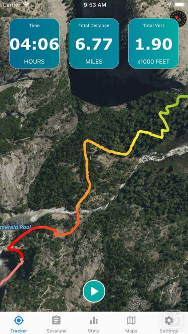
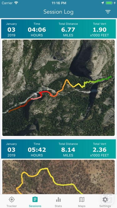
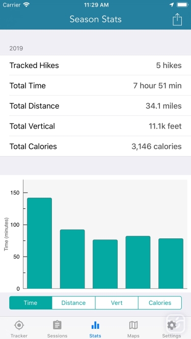
TRACK YOUR STATS!
- Total distance
- Total vertical
- Total time
- Calories burned
- Optimized to save battery life
VIEW YOUR TRACKS!
- Recap your hike on the map
- Color coded tracks based on relative elevation
- Quickly view stats on Apple Watch display
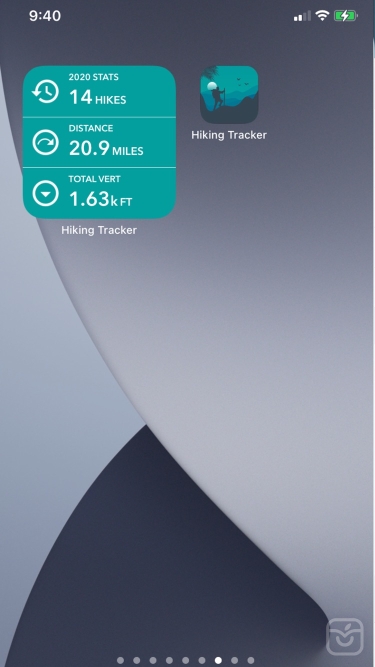
- iOS 14 home screen widget
BACKUP TO iCLOUD
- Automatically backup data to iCloud
- Share data between devices
THE BEST TOPO MAPS!
- USGS Topo Maps
- USFS Topo Maps
- Satellite + Topo Maps
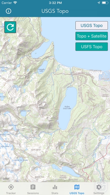
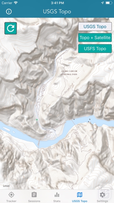
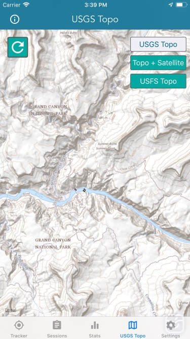
USGS TOPO MAP
USGS Topo project is a tile cache base map service that combines the most current data in The National Map (TNM), and other public-domain data, into a multi-scale topographic reference map.
TOPO + SATELLITE
USGS Imagery Topo is a tile cache base map of orthoimagery in The National Map and US Topo vector data. Orthoimagery data are typically high resolution images that combine the visual attributes of an aerial photograph with the spatial accuracy and reliability of a planimetric map. Data themes included are Boundaries, Geographic Names, Transportation, Contours, Hydrography, Land Cover, Shaded Relief, Trails, etc.
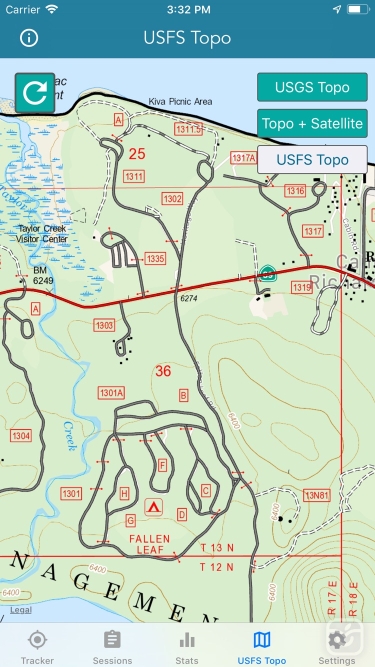
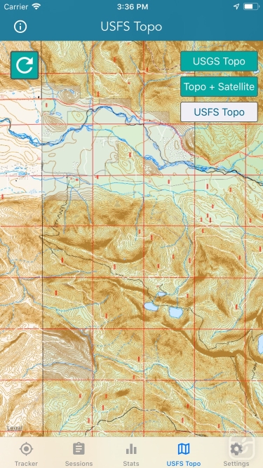
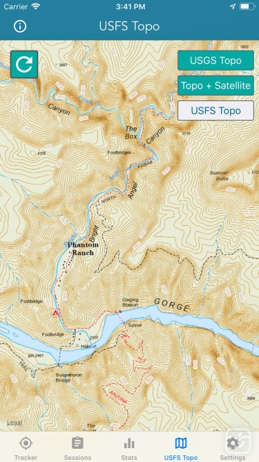
USFS TOPO MAP
The USFS Topo Map Area of Interest covers the USFS National Forests and Grasslands.
Enjoy!
تغییرات نسخه اخیر
- Fixed a few minor bugs
Thank you for the positive feedback!
توسعه دهنده
LW Brands, LLC